

GEOGRAPHICAL INFORMATION SYSTEMS (GIS)
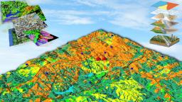
GIS, in particular, makes digital maps intelligent and allows spatial analysis on them. GIS is the system defining the geographical topology. GIS (Geographical Information System) is widely used with the development of digital mapping techonology. It is used particularly in the fields of suitable location selection, route corridor selection, agricultural planning studies, Land use planning, City and Regional Planning & Managing, Forestry, etc.
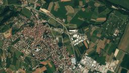
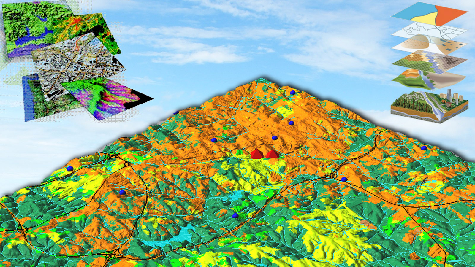
The core of the system is based on the model- ling of the geographical area in computers together with the required information.Digital maps of the area are produced and relations among the objects existing on the map (topology) are defined while information of each object is interrelated with the graphics.
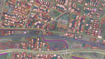
Another feature of GIS is the collection of the nongraphical (attribute) textual information of each graphical object on digital map in a non-graphical database. For example, the descriptive information of a road such as the name, type, construction year, history of the repairs, construction standarts which is shown as two lines on digital map, is present in the related non-graphical database. Analysis can be made both an graphics and database.
